En
Log in
All resources
Create a design
Tools
10,853 Free Images of Historic Map
pages with maps
cc-zero
national register of historic places with known ids
gemeente atlas van nederland - south holland
1860s maps of south holland
architecture
town
city
village
gemeente atlas van nederland - north holland
1594 in aschaffenburg
1594 maps of bavaria
maps of the history of sweden
maps of the kalmar union
self-published work
architecture
self-published work
sidewalk
village
tree
architecture
village
village
roof
self-published work
town
architecture
village
gemeente atlas van nederland - south holland
1860s maps of south holland
maps of augsburg by braun & hogenberg
1600s maps of augsburg
village
roof
travel
city
architecture
village
self-published work
architecture
st. helena - a physical, historical, and topographical description of the island (1875) by melliss
maps from the mechanical curator collection
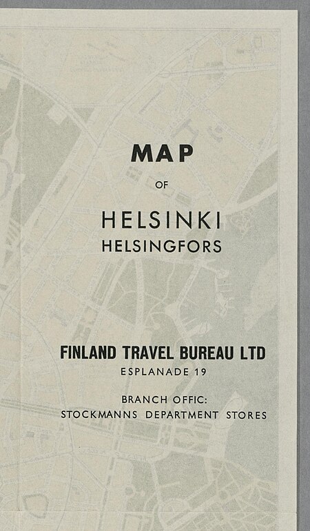
media from the national library of finland
classicism
gemeente atlas van nederland - south holland
1860s maps of south holland
gemeente atlas van nederland - south holland
1860s maps of south holland
church towers in hamburg
jan diricks van campen
gemeente atlas van nederland - south holland
1860s maps of south holland
gemeente atlas van nederland - south holland
1860s maps of south holland
gemeente atlas van nederland - south holland
1860s maps of south holland
maps of denmark by gerardus mercator
historical coats of arms of denmark
maps of the ottoman empire by mercator-hondius
map
media from the national library of finland
classicism
gemeente atlas van nederland - south holland
19th-century maps of rotterdam
maps from the earth and its inhabitants, vol. xiii
africa in the 1890s
gemeente atlas van nederland - south holland
maps of zoeterwoude
gemeente atlas van nederland - south holland
1860s maps of south holland
gemeente atlas van nederland - south holland
old maps of gouda
gemeente atlas van nederland - south holland
old maps of leiden
german renaissance,humanism
old maps of cairo
turgot map of paris, david rumsey historical map collection – derivative files
historical images of the hôpital de la pitié-salpêtrière
gemeente atlas van nederland - south holland
1860s maps of south holland
historical map collection
maps of new france
self-published work
traffic
2010 new jersey photos by jim.henderson
pages with maps
skyline
travel
architecture
city
architecture
town
architecture
village
self-published work
pavement
self-published work
pages with maps
military
vehicle
vehicle
water
travel
city
gemeente atlas van nederland - south holland
old maps of gouda
gemeente atlas van nederland - south holland
1860s maps of south holland
self-published work
pages with maps
self-published work
pages with maps
self-published work
pages with maps
self-published work
architecture
gemeente atlas van nederland - south holland
maps of goudswaard
gemeente atlas van nederland - south holland
maps of piershil
gemeente atlas van nederland - south holland
1860s maps of south holland
palatinatus rheni (merian)
baroque
gemeente atlas van nederland - south holland
maps of zoetermeer
gemeente atlas van nederland - south holland
1860s maps of south holland
gemeente atlas van nederland - south holland
1860s maps of south holland
gemeente atlas van nederland - north holland
maps of uithoorn
gemeente atlas van nederland - south holland
1860s maps of south holland
gemeente atlas van nederland - north holland
maps of texel
maps by abraham ortelius
pieter van der keere
historisk atlas (stockholm, norstedt & söner, 1880)
maps of 14th-century europe
gemeente atlas van nederland - north holland
old maps of haarlem
gemeente atlas van nederland - south holland
1860s maps of south holland
gemeente atlas van nederland - north holland
maps of muiden
gemeente atlas van nederland - south holland
maps of kedichem
gemeente atlas van nederland - south holland
1860s maps of south holland
gemeente atlas van nederland - south holland
maps of wassenaar
gemeente atlas van nederland - north holland
maps of bloemendaal
gemeente atlas van nederland - north holland
maps of zandvoort
media from the national library of finland
classicism
architecture
town
north hollywood, los angeles
rural
architecture
city
self-published work
architecture
sculpture
maps
architecture
city
vehicle
city
self-published work
pages with maps
architecture
city
self-published work
pages with maps
gemeente atlas van nederland - south holland
maps of groot-ammers
gemeente atlas van nederland - south holland
1860s maps of south holland
gemeente atlas van nederland - south holland
maps of zuid-beijerland
gemeente atlas van nederland - south holland
old maps of delft
village
roof
engravings of topographia braunschweig lüneburg
baroque
gemeente atlas van nederland - north holland
old maps of haarlem
self-published work
pages with maps
winter
snow
self-published work
pages with maps
gemeente atlas van nederland - utrecht
ruwiel
maps of brussels city walls
old maps of brussels
historical images of bolivia
potosí
maps of paris from the david rumsey historical map collection
map of paris by jouvin de rochefort (boutier 133)
historisk atlas (stockholm, norstedt & söner, 1880)
old maps of the polish-lithuanian commonwealth
historical images of la crosse, wisconsin
maps in the library of congress
4801 - 4900 of 10,853
Next page
/ 109